THE 1734 MURRILLO VERLARDE MAP DISPLAYED AT THE PHILIPPINE EMBASSY IN BOGOTA
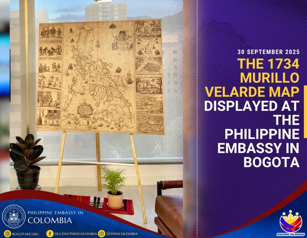
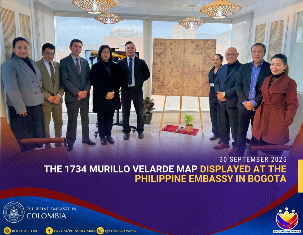
The Philippine Embassy in Colombia proudly displayed on 2 October 2025 a replica of the 1734 Murillo Velarde map, which is considered “the first and most important scientific map of the Philippines” as it provided the basis of subsequent maps of the country in the 18th century.
The display of the historic map culminated the Embassy´s celebration of the Maritime and Archipelagic Nation Awareness Month (MANAMo) 2025 in Bogota.
Part of the celebration was a solemn screening at the Embassy of the 2023 documentary “Pag-asa: The Atom Araullo Specials” to raise public awareness of the threats faced by the Filipino community in the West Philippine Sea.
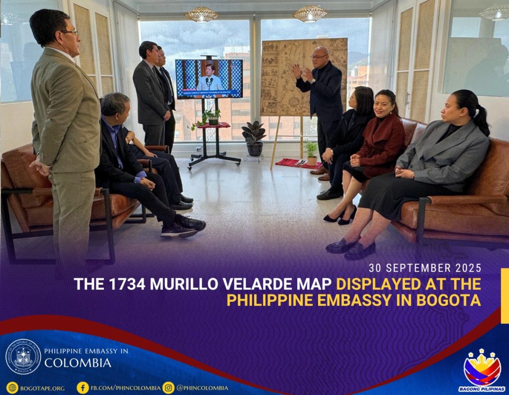
Providing significance to the display of the map was a video replay of the 2024 speech of Philippine President Ferdinand R. Marcos Jr. at the turnover ceremony of the original Murillo Velarde map in Manila where he made reference to the map as “a symbol of sovereignty and national identity.”
Philippine Ambassador to Colombia Adrian Bernie C. Candolada says the display of the 1734 Murillo Velarde map at the chancery will help raise public awareness of the challenges faced by an archipelagic country such as the Philippines as it continues to assert its sovereignty, sovereign rights and jurisdictions under international law, particularly the 1982 UN Convention on the Law of the Sea.